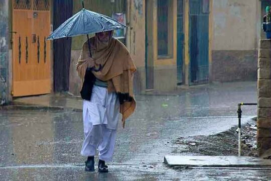
According to the Pakistan Meteorological Department (PMD), a westerly wave is expected to hit North Balochistan on January 10 and possibly grip the upper regions on January 11. This is expected to cause rain and snow to fall from Wednesday through Friday.
On January 10 and 11, Quetta, Zhob, Barkhan, Ziarat, Nokkundi, Dalbandin, Harnai, Qilla Saifullah, Qilla Abdullah, Chaman, Muslim Bagh, and Pishin could expect rain/snowfall (with isolated heavy fall).
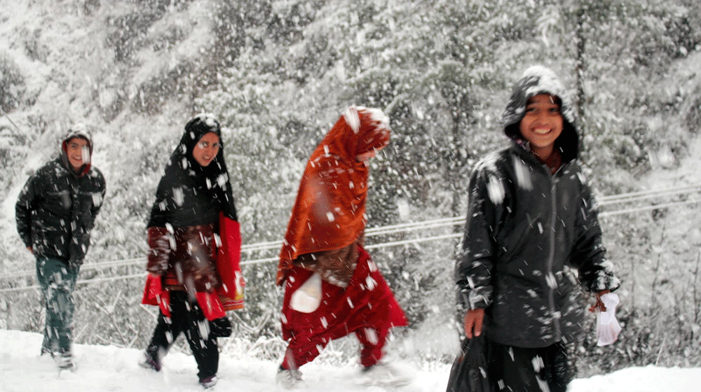
From January 11 to 13, rain (moderate to spotty heavy precipitation) is predicted in Murree, Galiyat, Kashmir (Neelum valley, Muzaffarabad, Poonch, Hattian, Bagh, Haveli, Sudhanoti, Kotli, Bhimber, Mirpur), Gilgit Baltistan (Diamir, Astore, Ghizer, Skardu, Hunza, Gilgit, Ghanche, Shigar), Chitral, Dir,
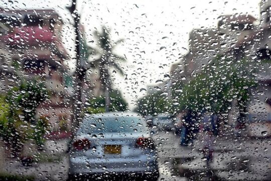
From January 11 to 13, moderate precipitation is predicted in Islamabad, the Pothohar region, Charsadda, Bajaur, Kurram, Waziristan, Kohat, Bannu, Karak, Sargodha, Mianwali, Khushab, Bhakkar, Layyah, Faisalabad, Toba Tek Singh, Jhang, Gujranwala, Gujrat, Hafizabad, Sialkot, Narowal, Sheikhup On January 11 and 12, light precipitation is possible along the Makran coast, in D. I. Khan, D. G. Khan, Muzaffargarh, Khanewal, and Pakpattan.
From January 11 to 13, areas with heavy snowfall may see disruptions and road closures in Murree, Galiyat, Naran, Kaghan, Dir, Swat, Kohistan, Mansehra, Abbottabad, Shangla, Astore, Hunza, Skardu, Neelum valley, Bagh, Poonch, and Haveli.
It is not impossible that landslides could occur in Gilgit Baltistan, Kashmir, and Upper Khyber Pakhtunkhwa. Visitors are urged to exercise increased caution.
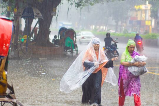
The standing crops would benefit from the rain, especially in areas of Punjab and Khyber Pakhtunkhwa. Throughout the projected period, the hazy conditions are likely to clear off. It’s expected that temperatures will drop dramatically both during and after the spell.
For the duration of the prediction period, it is urged that all relevant authorities remain “ALERT.”